- Home
- Service Details
Seismic Interpretation & Reservoir Geophysics
See Between the Wells
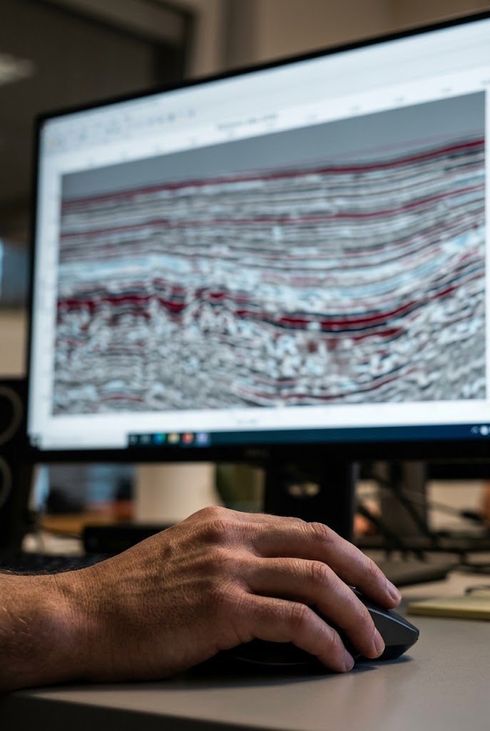
Seismic data is the only direct view of the reservoir between the wells. TIGC’s geophysicists turn it into a reliable picture of structure, stratigraphy and reservoir quality, from the regional framework down to individual reservoir units.
- Lifecycle Stage
- Disciplines
- Key Deliverable
- Location
- Explore to Produce
- Geophysics
- Depth Maps
- attribute map
Service Overview
Our interpretation is always tied to geology and well control. In thrust belts, fractured carbonates and thin clastic reservoirs, a purely mechanical interpretation can mislead, so every horizon and fault is checked for geological sense.
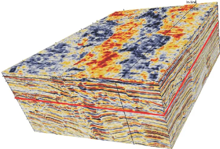
Where the data allows, we go beyond structure. Rock physics, AVO and seismic inversion let us predict porosity, lithology and fluid content away from the wells, giving the geomodel real control between well locations.
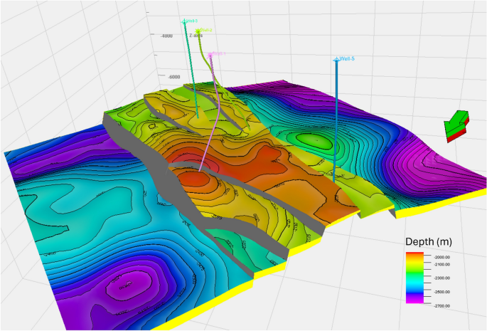
You receive depth-converted structure maps, fault frameworks, attribute and property maps, and a clear statement of interpretation confidence across the area, all delivered in formats ready for geomodeling.
What we deliver
- Structural interpretation and fault-seal assessment
- Stratigraphic interpretation and seismic facies
- Well-to-seismic ties and wavelet extraction
- Velocity modeling and time-to-depth conversion
- Rock physics analysis
- Seismic attribute analysis
- AVO analysis and seismic inversion
Geophysics supports every stage: prospect generation in exploration, reservoir delineation in appraisal, and well placement and infill targeting during development and production.
Why TIGC
Context Is Our Technical Advantage
We combine local understanding of geology, field history and operating realities with global specialist expertise.
Senior Teams, Every Stage
We assemble teams around the asset challenge rather than forcing every project through a standard delivery model.
- Deep regional knowledge
- Integrated disciplines
- Commercially focused advice
- Senior-level involvement
- info@tethyangeoscience.com
Across the Lifecycle
Our specialists cover geology, geophysics, petrophysics, reservoir engineering, geomechanics and production optimization. That lets us carry one consistent reservoir understanding from the first prospect to the last barrel
Exploration
Appraisal
Field Development
Production Optimization
Technical